I’ve always wanted to go to the magnificent Grand Canyon, after not taking the opportunity to do so when I was nearby in Las Vegas some 15 years ago while attending the now-defunct Comex show.
Recently, I had the opportunity to visit Las Vegas again, this time for the Consumer Electronics Show (CES) 2015 and decided not to let the opportunity pass again. I took a day tour package from canyontours.com. They have tours to South and West Rims, and I decided to take a chance and went for the West Rim instead of the more common South Rim and was not disappointed.
Unlike the South Rim, which is managed by the Grand Canyon National Park, the West Rim is managed by the native Hualapai tribe and is relatively untouched. Despite having no railings and guard rails, I am told by the guide that the West Rim has not seen a single fatal fall in the past 25 years they’ve been operating. The South Rim on the other hand, had a number of fatal accidents despite having railings and all. Go figure.
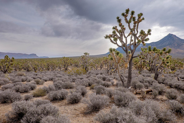
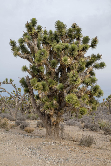
The tour passes and stops by the Hoover Dam, but unfortunately is not a very good vantage point for photos. We also stopped by one of the Joshua Tree forests along the highway.
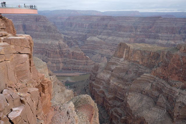
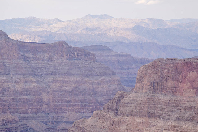
We eventually reached the visitor centre of the West Rim and then to the first stop—Eagle Point. It was so-called because the dip in the canyon walls resembled that of an eagle’s wings.
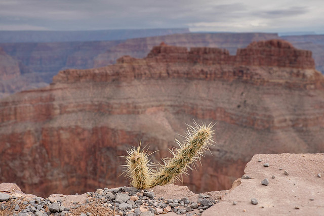
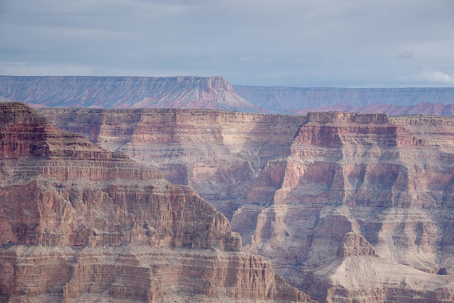
Photos can’t do justice to the grandeur of the canyon, I spent some time alternating between taking photos and simply standing there and taking it all in.
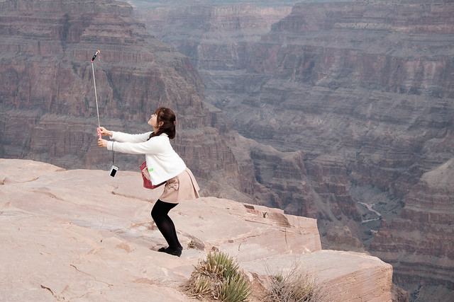
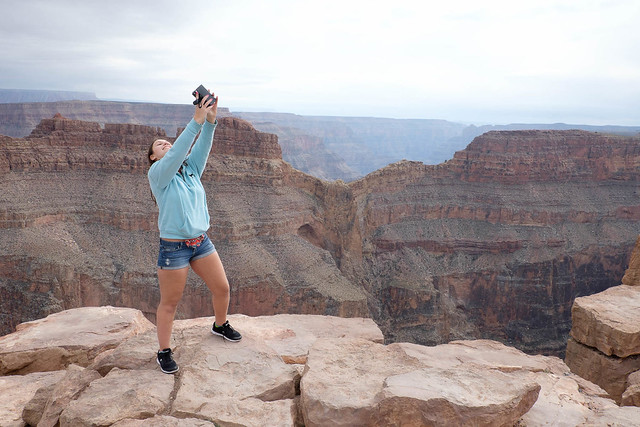
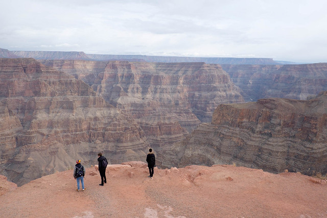
With the selfie culture being prevalent these days, it’s not hard to spot people taking selfies, with and without the selfie-stick. Here’s a couple of them.

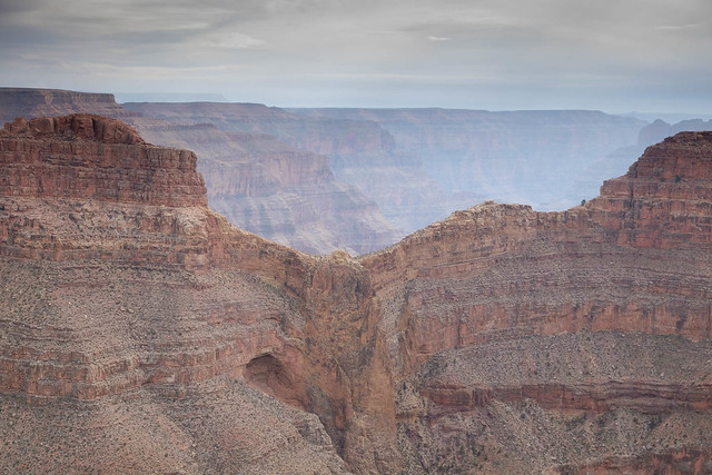
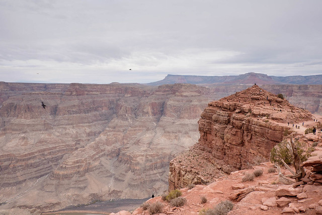
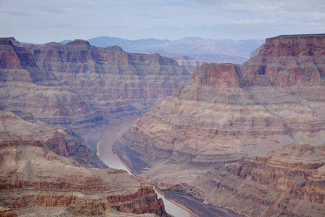
The next point of interest is Guano Point, a short distance away via the shuttle bus that plies the area at pretty regular intervals. Guano Point offers a better view of the Colarado River which runs through the Grand Canyon compared to Eagle Point.
The U.S. Guano Corporation purchased the mining rights in that location in 1957 and built a tramway to mine the bat guano (droppings) from a bat cave 2,300m across the canyon and 760m below. The bat droppings were rich in nitrogen and were used for fertiliser.
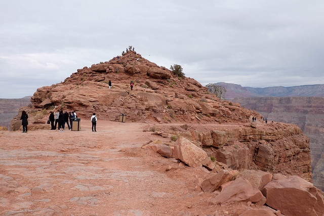
Guano Point is probably named after this mining activity which ceased in 1960. The tramway is now abandoned.
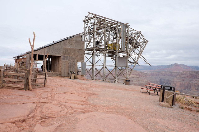
Near the abandoned tramway is a mound of rocks resembling a pyramid. I didn’t climb up as I didn’t think I was fit enough to make my way up and down again. I am sure the view up there is stunning, though.
Before long, it was time to move on to the next point for lunch before heading back to Las Vegas. I was glad I picked the West Rim tour as I found out later from some of my colleagues who drove to the South Rim and it was foggy. I’d still want to make a trip there the next time I have a chance to.
Hi – where was the image captioned Colarado River winding through Grand Canyon West Rim taken from? Guano Point?
Hi Amy, you are right. That shot was taken from Guano Point.